Mahsulot tavsifi
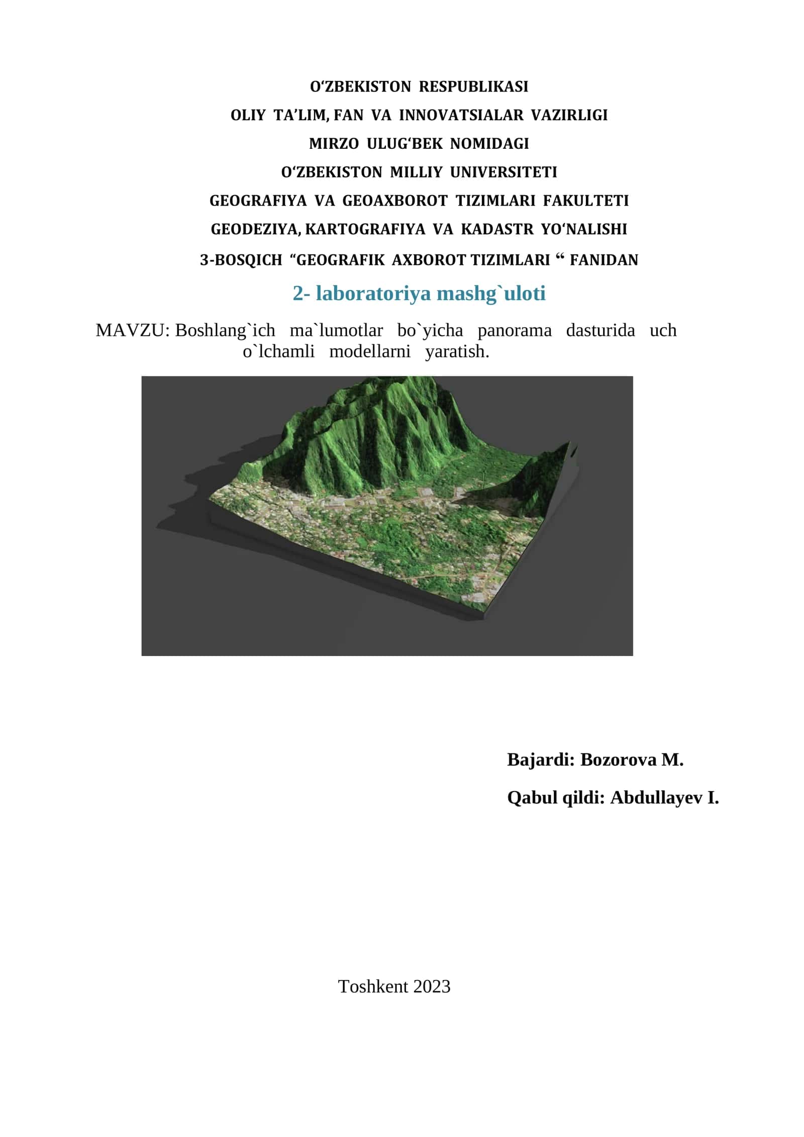
This course focuses on creating 3D relief maps of specific regions using GIS technology and modern software like ArcGIS. Students will analyze and process geodetic measurements to generate accurate geographic information systems
#texnologiyalar#gis#geoaxborot tizimlari
Muallif

Tez YechimTasdiqlangan muallif
- Hujjatlari
- 13 817
- Sotilgan
- 294